

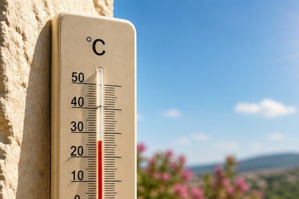
Tasmania is set for a warmer than usual winter, with the Bureau of Meteorology saying there is an 80% chance temperatures will sit above average from June through to September.
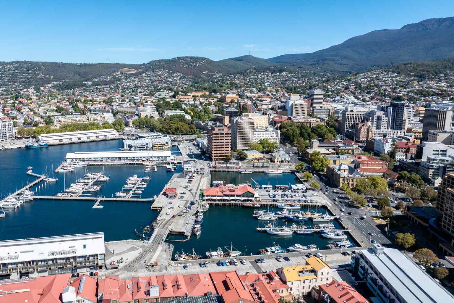
Hobart’s average winter temperature is a top of 12 degrees, while Launceston’s is a top of 14 degrees.
Denver Richter from the Bureau of Meteorology said the trend is clear.
“For the rest of June it’s looking like there’s a decent chance that those temperatures could be above average,” he said.
“From even June to September, those temperatures are forecast with an 80% chance of being above average for the time period.”
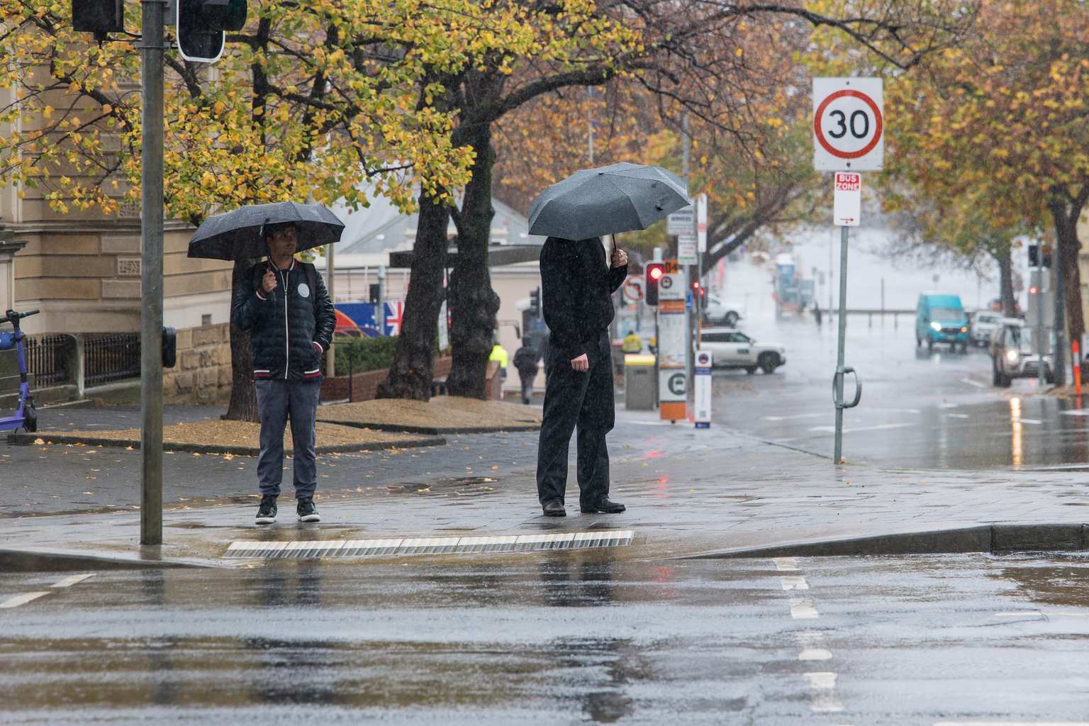
In the shorter term, Tasmanians can expect a mild week with temperatures sitting on or slightly above average.
Hobart is forecast to hit 17 degrees today before dropping a couple of degrees on Thursday as a cold front passes through.
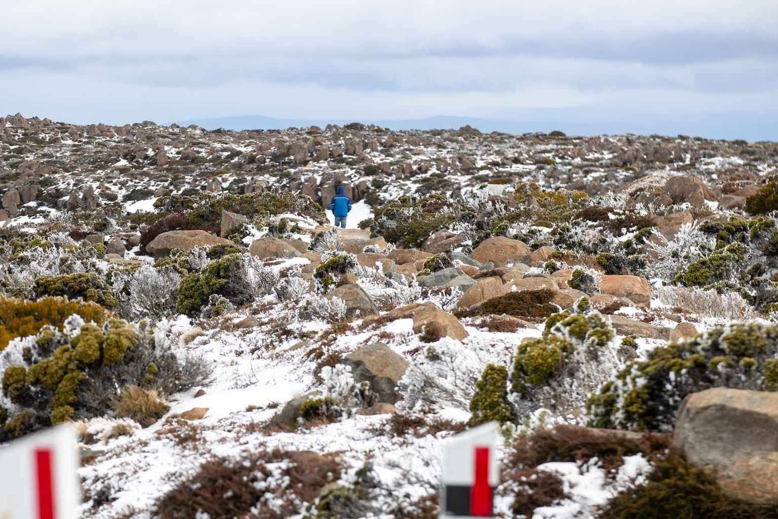
The week ahead will bring two separate bursts of rain, both targeting the state’s north and west.
The first cold front is expected to bring rain from around 1am Wednesday through to 1am Thursday, mostly falling in the triangle between Cradle Mountain, Launceston and Devonport.
Richter said totals of 20 millimetres are likely over that 24-hour period, with isolated falls of up to 30 millimetres possible.
Areas along the north and west coasts can expect between five and 15 millimetres, while the east coast will see much less.
Settled conditions should return on Thursday and Friday before a second, stronger cold front arrives on Saturday.
“This one’s got a touch more in it,” Richter said.
That system is likely to deliver 20 to 30 millimetres broadly across the western tiers, north-west inland areas and just inland from Strahan.

In a high-end scenario there’s a chance of between 50 and 60 millimetres.
“It’s not gonna be a protracted event, so both of these rainfall and shower events are quite brief,” he said.
Conditions are expected to clear again on Sunday before more fronts potentially move through early to mid next week, though rainfall totals from those systems remain uncertain.