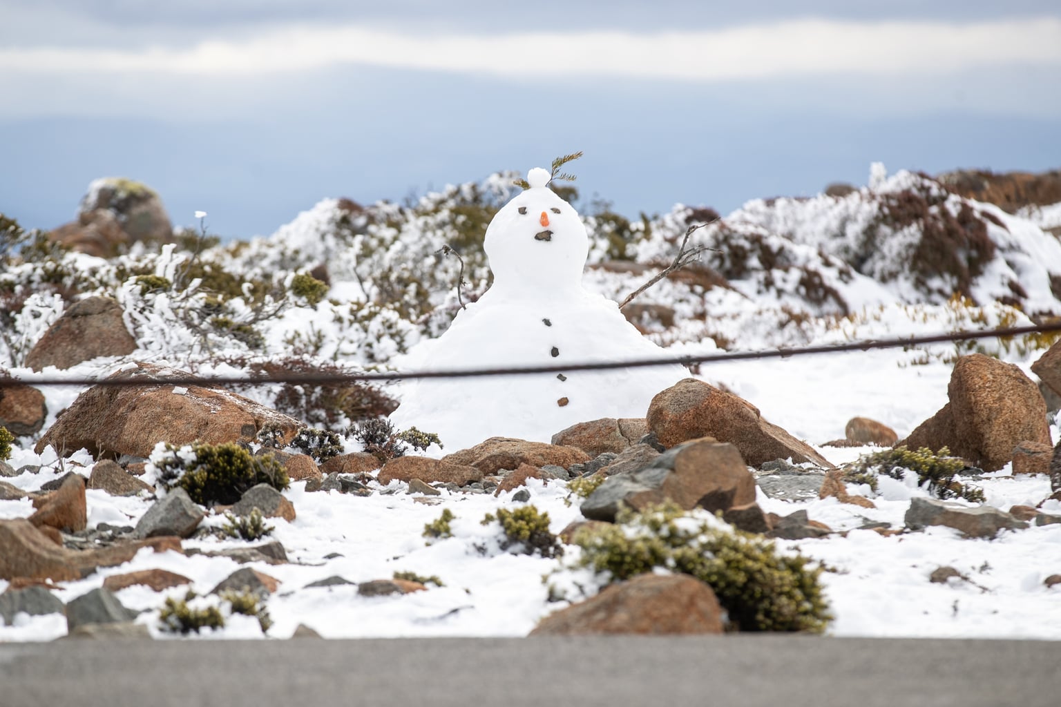
Tasmania is in for a wintry weekend, with snow expected as low as 500 metres in the south tomorrow morning.
A cold front is moving across the state tonight and the Bureau of Meteorology says cold southwesterly winds will follow it through Saturday.
Showers are moving to the West Coast tonight, with snow falling to 700 metres late this evening in the southwest. Small hail is possible in the west and far south.
Tomorrow, showers will spread statewide in the afternoon before mostly clearing in the evening. The snow level is forecast to rise to about 800 metres by evening.
Small hail is possible in the west, far south and on the Bass Strait islands and thunderstorms could develop in the east.
The West Coast will get the most rain, with up to 15 millimetres forecast for Queenstown and Zeehan.
Hobart has an 80% chance of showers and a top of 14 degrees, while Launceston is expected to reach 16 degrees.
Lake St Clair, Cradle Valley and Mt Field are forecast to get snow showers, with tops of three to six degrees.
The bureau, in a bushwalkers weather alert, has warned of snow as low as 800 metres on Friday evening and as low as 500 metres during Saturday.
The Hobart City Council said it will likely close Pinnacle Road at The Springs tonight, with a high chance it stays shut all day Saturday.
The Kunanyi/Mt Wellington summit is forecast to reach four degrees.
“If not well prepared, the mountain weather can be deadly,” the council said.
A high-pressure system is expected to bring calmer weather from Sunday, with light winds and morning frost inland. Liawenee could drop to minus three degrees.
Temperatures will climb next week, with Hobart forecast to reach 22 degrees and Launceston 21 degrees on Tuesday.